Cusco · Sacred Valley · Peru
Machu Picchu.
The city on the ridge.
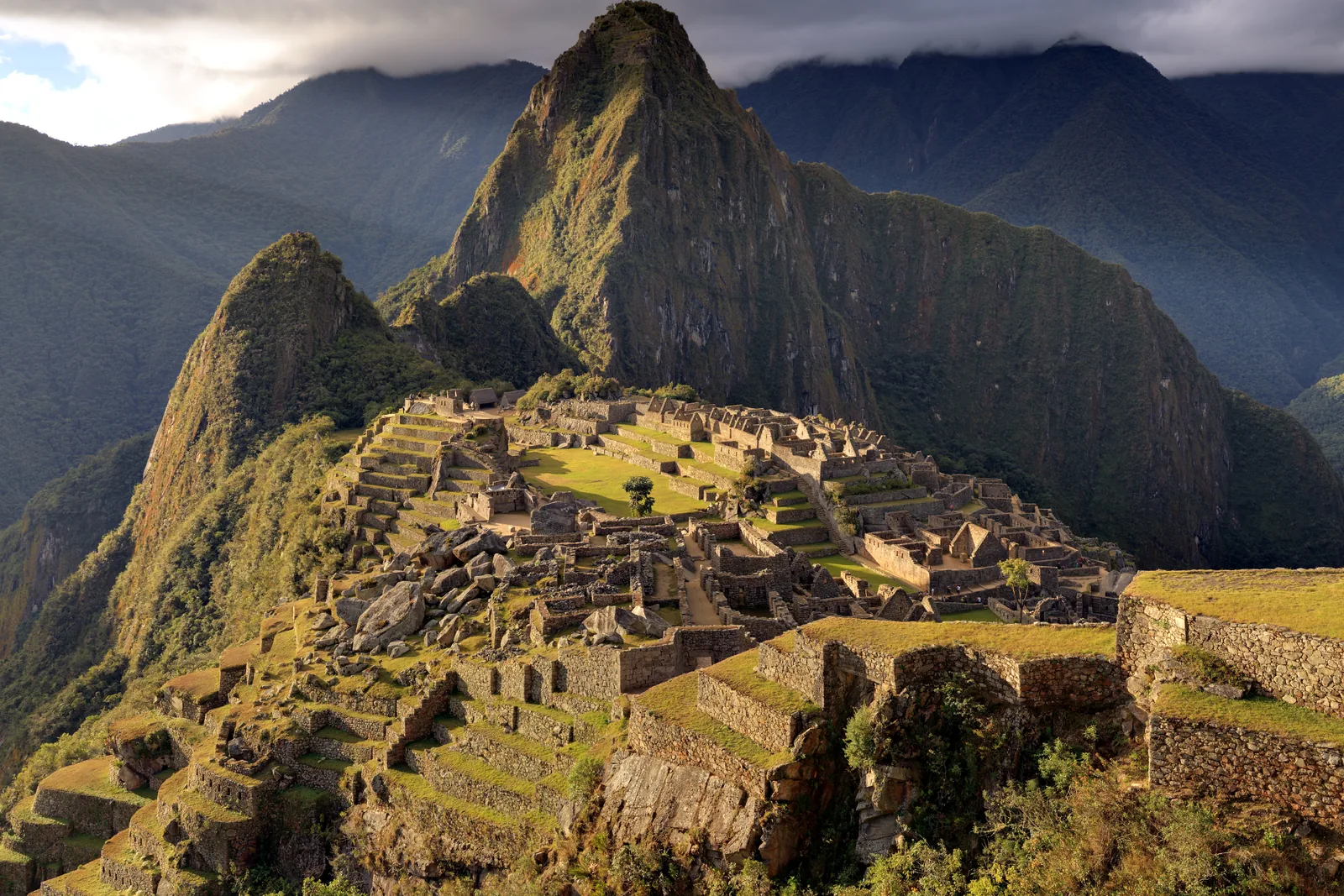
Terraces hanging in the mist, a Temple of the Sun on living rock, water channels that still run, and behind it all the pointed peak of Huayna Picchu: Machu Picchu is the best-preserved city of the Incas because the Spaniards never found it. Here is everything for your trip: the history from Pachacuti’s estate to the day Hiram Bingham came, tickets and admission with the question “Which circuit?”, how to get there from Cusco by train and bus, the altitude, and our own map of the city.
Machu Picchu sits at 2,430 m on a ridge above the Urubamba, 80 km north-west of Cusco. The Inca Pachacuti had the city built around 1450 as an estate; radiocarbon dates put its use between 1420 and 1530, and hardly more than 750 people lived here. After the Spanish conquest the site was abandoned and overgrown. On 24 July 1911 the farmer Melchor Arteaga led the American Hiram Bingham up; Yale excavated in 1912 and 1914–15 and returned the finds by 2012. World Heritage since 1983, with three fixed circuits since 2024. Source: UNESCO
Four ways into the city
Understand, plan,
find your way
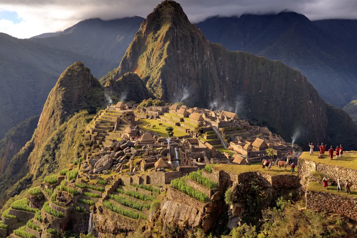 01AI vision1911The day Bingham cameFrom Pachacuti’s living city around 1450 through the abandoned city beneath the forest, 24 July 1911 and the clearing by Yale to today: the time journey from the upper terrace.Start the journey 02Real photo1450The historyFrom Pachacuti’s estate through the abandoned city beneath the forest, Lizárraga’s inscription of 1902 and Bingham’s day in July 1911 to the dispute over the Yale finds.Read the history 03Checked 25 Sep 20262026Tickets & admission152 soles, 200 with Huayna Picchu, Circuit 1, 2 or 3, slots from 6 am to 3 pm, buying on tuboleto.cultura.pe, train from Cusco, bus from Aguas Calientes, altitude and best time to visit.Plan your visit
 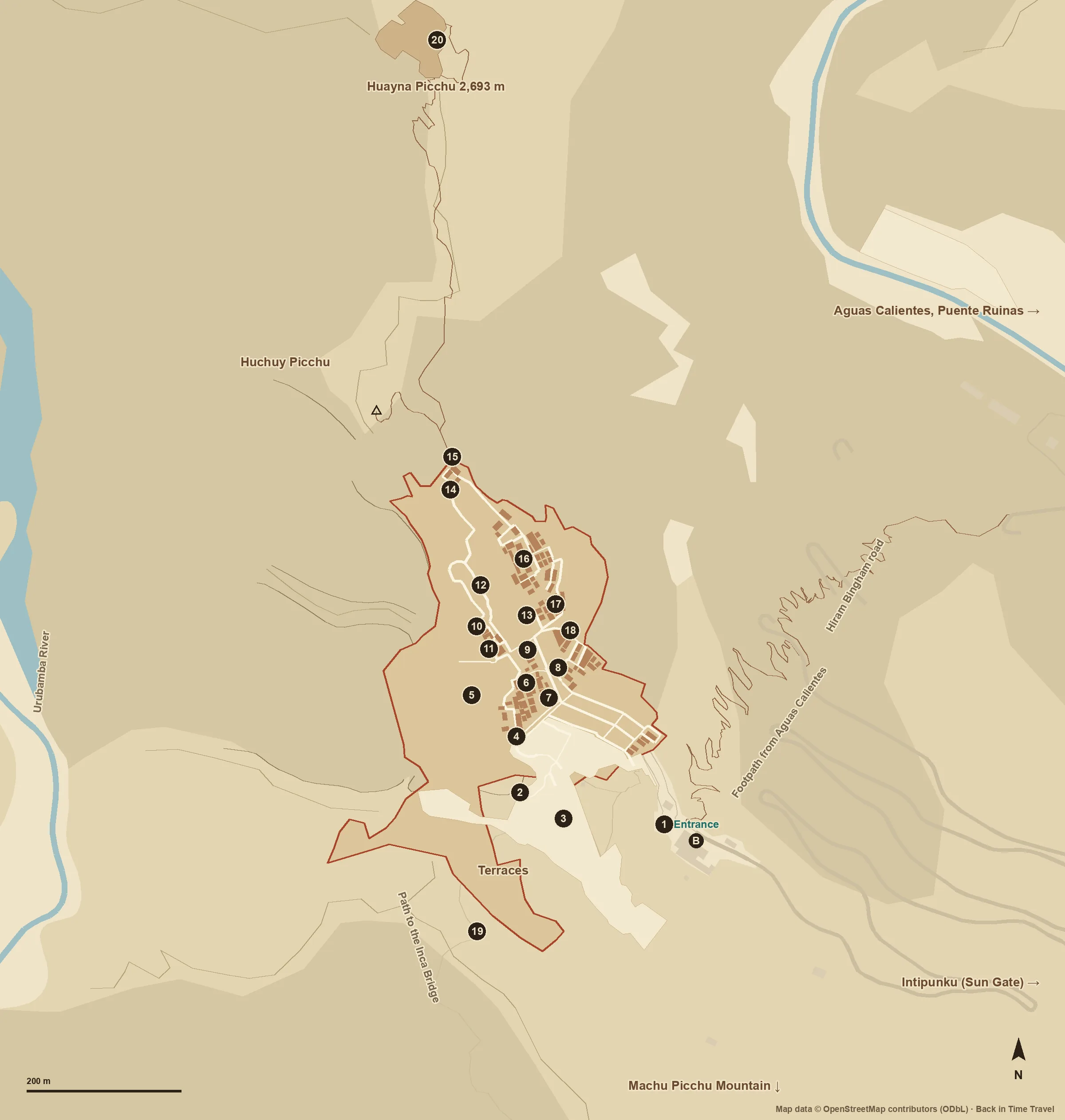 04Own plan20 sitesThe mapPlan of the city with the Temple of the Sun, the Intihuatana, the Main Plaza, the routes of the three circuits, Huayna Picchu, entrance, bus and station.Open the map
 Machu Picchu in brief
Machu Picchu in brief
Where is Machu Picchu?
In Peru, on a ridge at 2,430 m above the valley of the Urubamba, about 80 km north-west of Cusco. The town at the foot of the mountain is called Aguas Calientes or Machu Picchu Pueblo and can be reached only by train or on foot; from there a bus takes 25 minutes to the entrance.
When was Machu Picchu built?
Around 1450, in the reign of the Inca Pachacuti (1438–1471). Radiocarbon dates from burials show the site was occupied from about 1420 to 1530, a good century.
Who built Machu Picchu?
The Inca Pachacuti, the ruler who turned Cusco into an empire; the city is regarded as his estate. His successor Túpac Inca Yupanqui continued to use it. It was built without mortar, with stones cut so precisely that no knife fits between them.
Why was Machu Picchu abandoned?
After the Spanish conquest from 1532, probably over the following decades, until about 1570; the exact reasons are not recorded. Most likely the supply lines and the purpose of the estate collapsed with the Inca state, and epidemics added to it. The Spaniards never found the city, which is why it still stands.
Who discovered Machu Picchu in 1911?
The American Hiram Bingham, a Yale lecturer, on 24 July 1911, guided by the farmer Melchor Arteaga; families were living on the terraces at the time, and the Cusqueño Agustín Lizárraga had written his name on a wall in 1902. Bingham made the site famous; Yale excavated in 1912 and 1914–15 and returned the finds to Peru by 2012.
How many visitors come per day?
4,500 on normal days, 5,600 in high season, for 2026 from 19 June to 2 November and on a few holidays, spread across ten routes and hourly slots from 6 am to 3 pm. The Ministry of Culture fixes this every year by resolution.
Looking beyond the Andes
At the same
time, elsewhere.
When Pachacuti had Machu Picchu built around 1450, Angkor Wat had stood for three centuries, Chichén Itzá was abandoned, and in Rome the Colosseum was being quarried for palaces. Drag the marker and discover the other sites.
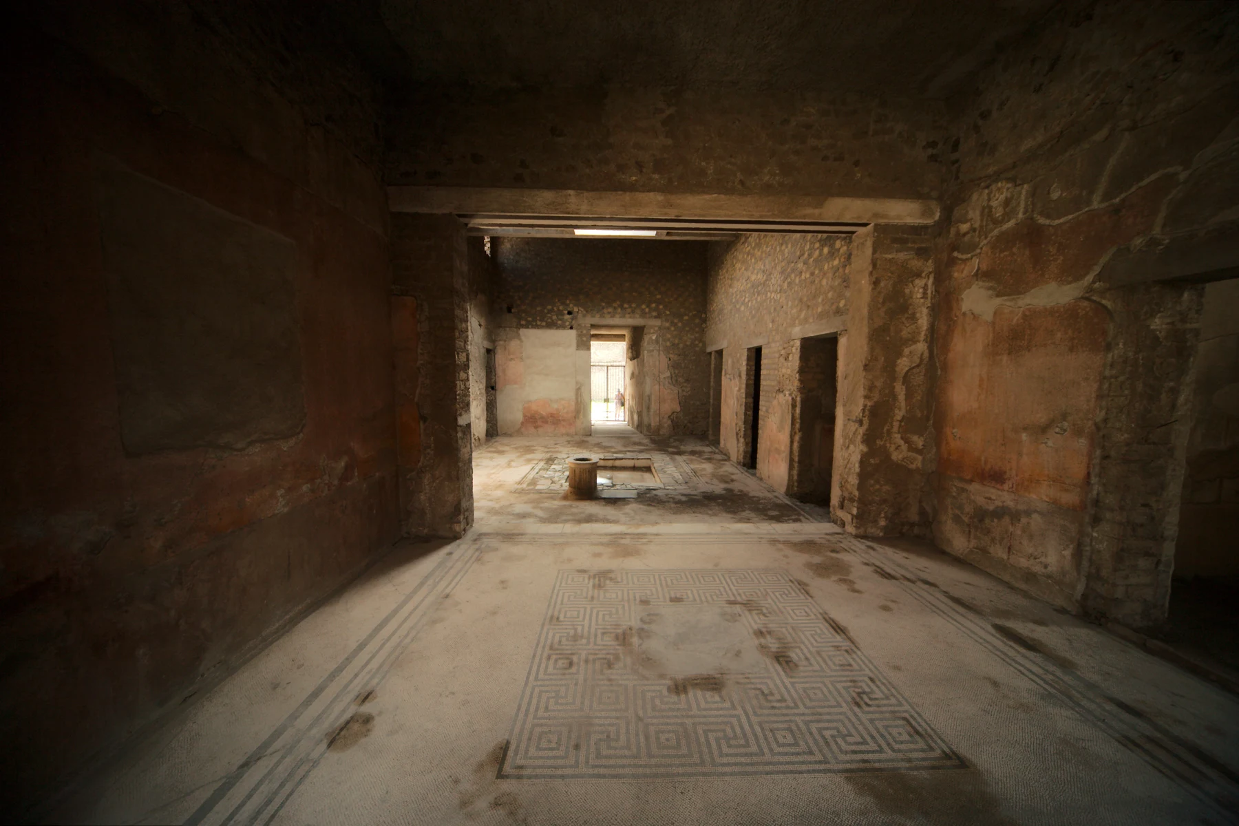
- 100 BC – 79 AD A city still inhabited
- 600 BC – 90 BC Before Rome
- 89 BC – 61 AD Roman municipium
- 62 AD – 78 AD After the earthquake
- 79 AD – 79 AD The destruction
- 500 BC – 200 BC The Forum of the Republic
- 199 BC – 1 BC Villas on the Palatine
- 1 AD – 79 AD Nero’s lake in the valley
- 80 AD – 437 AD The amphitheatre in use
- 438 AD – 599 AD Last games
- 600 AD – 1348 AD Fortress, workshop, quarry
- 1349 AD – 1500 AD After the earthquake of 1349
- 600 BC – 481 BC Before the Parthenon
- 480 BC – 448 BC After the Persian destruction
- 447 BC – 433 BC A monument takes shape
- 432 BC – 399 AD The Classical ensemble
- 400 AD – 1000 AD New uses, the same rock
- 300 BC – 1 BC A Hellenistic framework
- 1 AD – 149 AD Roman living spaces
- 150 AD – 269 AD The age of the library
- 270 AD – 800 AD A building changes its role
- 1 AD – 149 AD The city grows
- 150 AD – 249 AD An axis for the city
- 250 AD – 599 AD Life between the monuments
- 600 AD – 700 AD A centre in transition
- 600 BC – 199 AD Before the great temples
- 200 AD – 694 AD A Classic Maya city
- 695 AD – 733 AD After the victory over Calakmul
- 734 AD – 799 AD Monument and memory
- 800 AD – 950 AD An urban world in transition
- 600 BC – 31 BC Travellers of antiquity
- 30 BC – 640 AD Roman province
- 641 AD – 1400 AD Quarry for Cairo
- 600 AD – 849 AD Old Chichén
- 850 AD – 899 AD Between two cities
- 900 AD – 1049 AD The florescence of the new city
- 1050 AD – 1199 AD After the fall
- 1200 AD – 1250 AD The age of Mayapán
- 1400 AD – 1419 AD Before the estate
- 1420 AD – 1532 AD Pachacuti’s estate
- 1533 AD – 1572 AD After the conquest
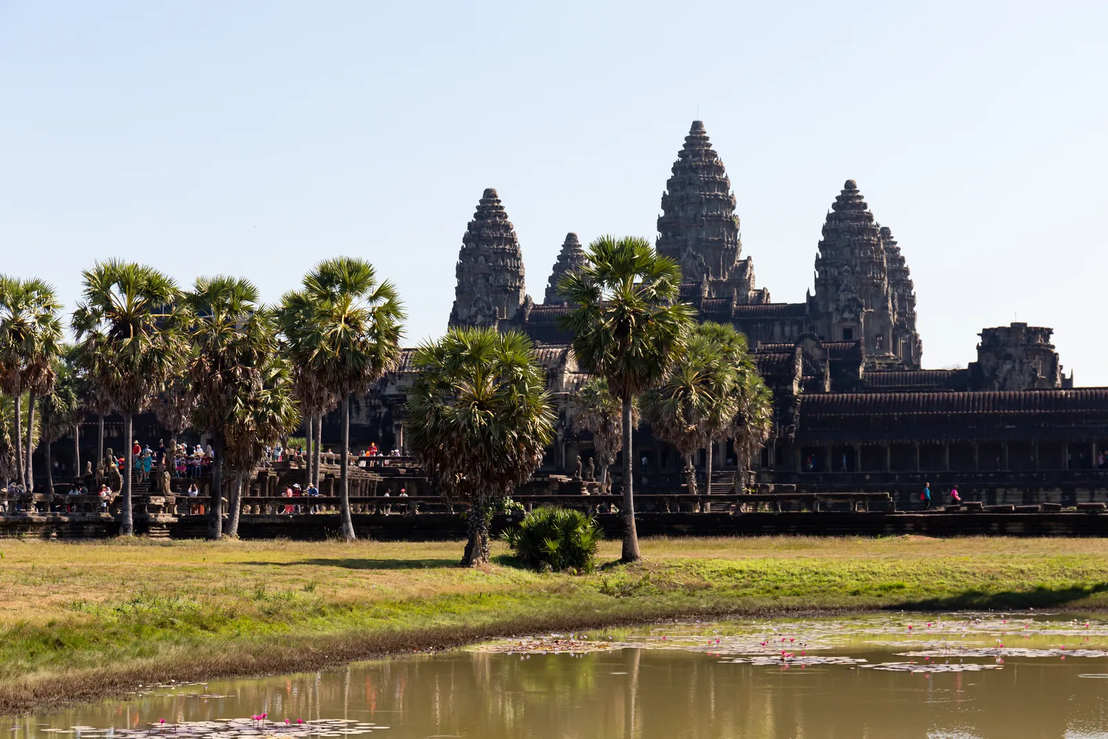
- 800 AD – 1112 AD Before Angkor Wat
- 1113 AD – 1150 AD A temple takes shape
- 1151 AD – 1180 AD After the builder
- 1181 AD – 1295 AD The age of Jayavarman VII and after
- 1296 AD – 1350 AD Zhou Daguan’s Angkor
- 1351 AD – 1430 AD Droughts and monsoons
- 1431 AD – 1500 AD The capital moves on
The bands show editorial windows from our stories, not complete settlement histories. Window boundaries organise the narrative; not every change can be dated to a single year. Photographs show the surviving condition, not the selected year. Present-day coastlines provide orientation.
From your screen to the terrace
Experience Machu Picchu yourself
Entry runs from 6 am to 3 pm in hourly slots; the ticket costs 152 soles, 200 with Huayna Picchu, online on tuboleto.cultura.pe with your passport number. Tours from Cusco bundle train, bus, ticket and guide; if you come on your own, climb the stairs at the entrance to the upper terrace and the city lies before you.
Affiliate link: we may receive a commission when you book through GetYourGuide. The historical interpretation remains independent.
Sources and context
This overview relies on UNESCO, the Peruvian Ministry of Culture and the research literature as summarised by Wikipedia and Wikidata; each subpage cites its sources alongside the content.
- UNESCO: Historic Sanctuary of Machu Picchu (World Heritage 1983, 2,430 m)
- Ministerio de Cultura / DDC Cusco: History (location, altitude)
- Ministerio de Cultura / DDC Cusco: Circuits and routes (since 1 June 2024)
- Gestión: tariffs and capacity 2026 (RM 000284/000285-2025-MC)
- Wikipedia: Machu Picchu (built c. 1450, radiocarbon 1420–1530, Bingham 24 July 1911, Yale)
- Wikidata Q676203
Images and usage rights
View from the upper terrace over the city and Huayna Picchu: photo Martin St-Amant (S23678), 2009, CC BY-SA 3.0, via Wikimedia Commons. Map: own plan based on OpenStreetMap data (ODbL).
Angkor Wat from the west across the lotus pond, photographed on 10 December 2019. Balon Greyjoy / Wikimedia Commons · CC0 1.0. Resized to 1600 pixels wide and converted to WebP; no cropping or content alterations. Framing varies by screen. Derived photograph under the same licence.

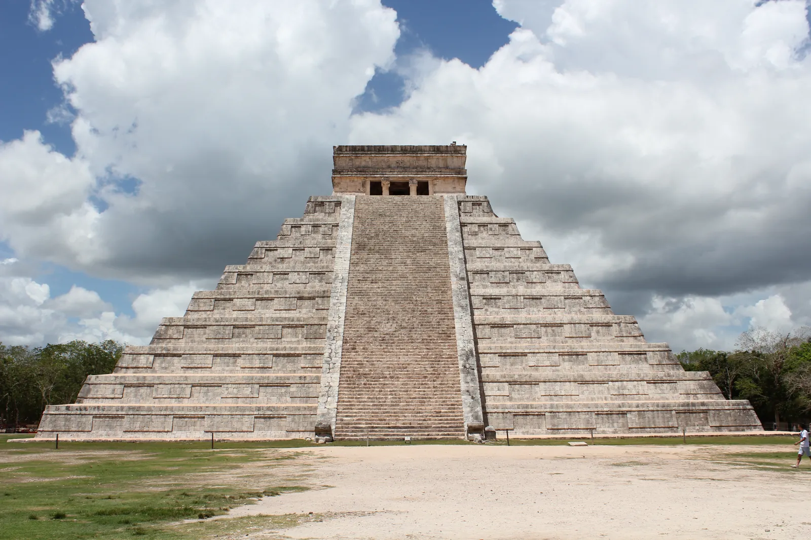
The Kukulcán pyramid (El Castillo) at Chichén Itzá, north side with the restored stairway, seen from the Great Platform. Photograph taken on 31 May 2013. Arian Zwegers / Wikimedia Commons · CC BY 2.0. Resized to 1600 pixels wide and compressed as WebP; no crop or content alterations. Framing varies by screen. Derived photograph under the same licence.
.jpg)
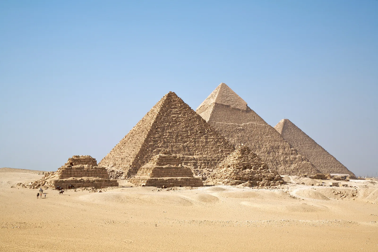
The pyramids of Giza from the desert to the south: the pyramid of Menkaure with its three queens’ pyramids in front, Khafre with the remaining casing at its top behind, the Great Pyramid of Khufu on the right. Photograph taken on 19 June 2006. Ricardo Liberato / Wikimedia Commons · CC BY-SA 2.0. Cropped to 3:2 (a few pixels at the edges), resized to 1600 pixels wide and compressed as WebP; no content alterations. Framing varies by screen. Derived photograph under the same licence.

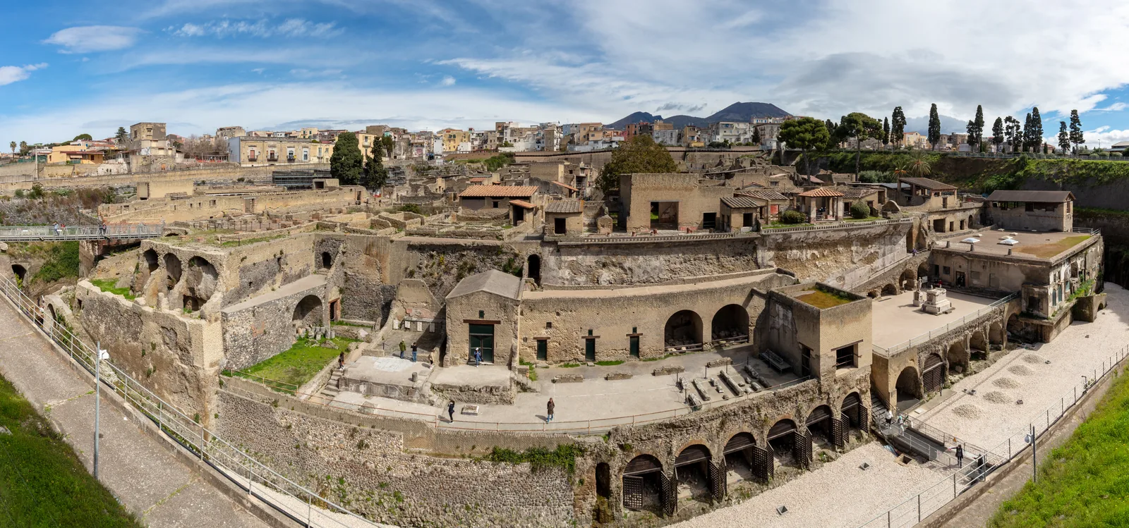
The excavations of Herculaneum seen from the access ramp: the boat houses on the ancient beach below, above them the terrace of Marcus Nonius Balbus, the town and Vesuvius; modern Ercolano on top. Photograph taken on 27 March 2023. Diego Delso / Wikimedia Commons · CC BY-SA 4.0. Resized to 1600 pixels wide and compressed as WebP; no crop or content alterations. Framing varies by screen. Derived photograph under the same licence.

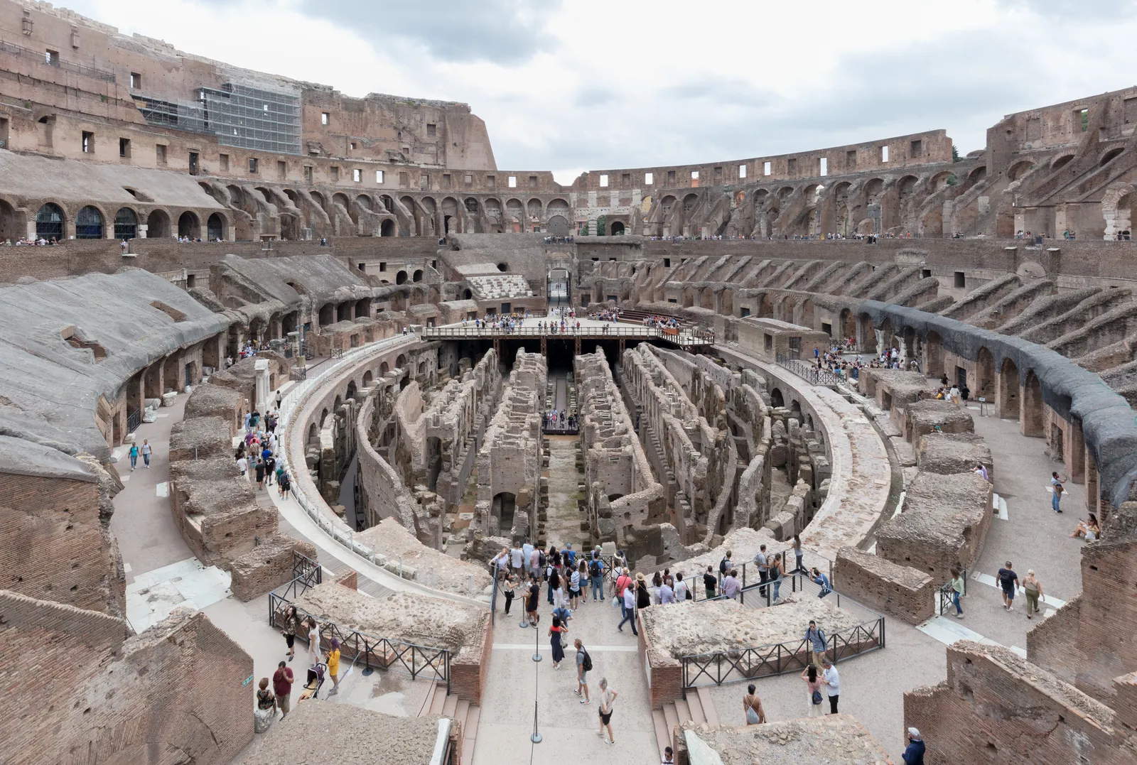
View from the upper tier into the Colosseum: the exposed hypogeum, the partly reconstructed arena floor and the tiers opposite. Photograph taken on 15 September 2022. Diego Delso / Wikimedia Commons · CC BY-SA 4.0. Resized to 1600 pixels wide and compressed as WebP; no crop or content alterations. Framing varies by screen. Derived photograph under the same licence.

Machu Picchu from the upper terraces near the Guardian’s Hut: the main plaza with its single tree, the temple sector on the left, the residential quarters on the right, Huayna Picchu behind. Photograph taken on 27 June 2009 in evening light. Martin St-Amant (S23678) / Wikimedia Commons · CC BY-SA 3.0. Cropped to 3:2 (sky trimmed at the top), resized to 1600 pixels wide and compressed as WebP; no content alterations. Framing varies by screen. Derived photograph under the same licence.

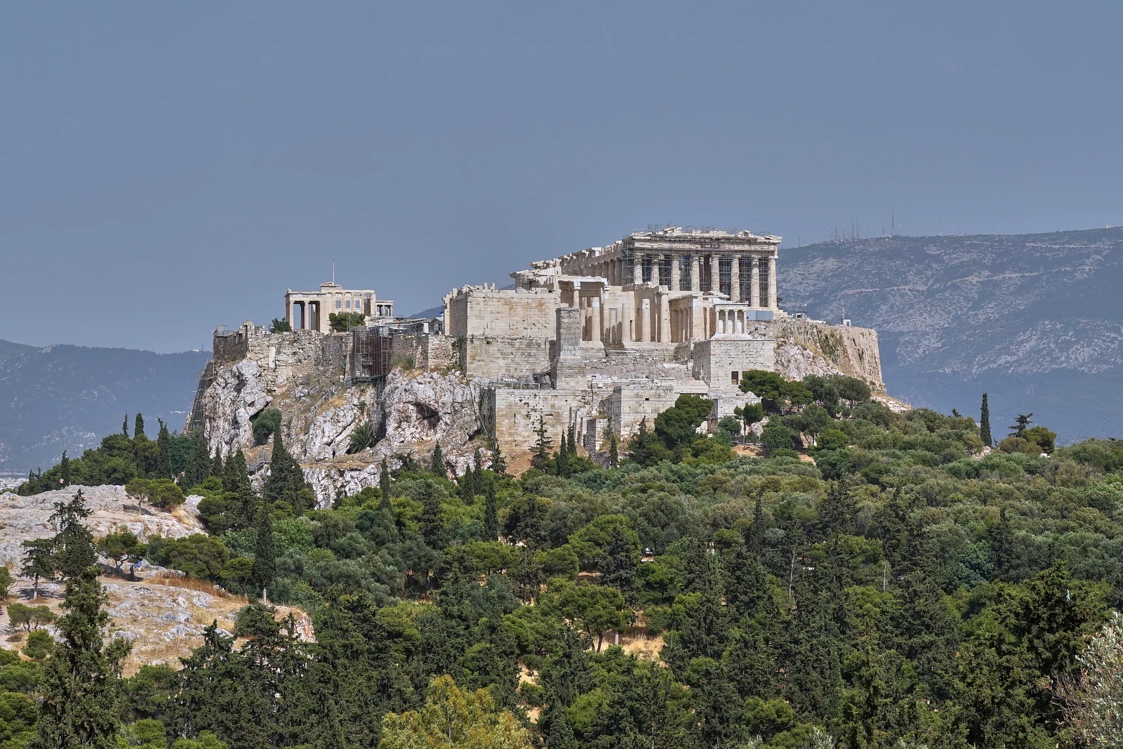
View from the Pnyx towards the Acropolis of Athens and the Parthenon, photographed on 20 May 2020. George E. Koronaios / Wikimedia Commons · CC BY-SA 4.0. Resized to 1600 pixels wide and converted to WebP; no cropping or content alterations. Framing varies by screen. Derived photograph under the same licence.

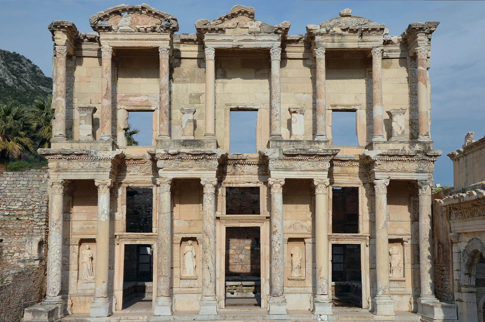
The façade of the Library of Celsus in Ephesus, Turkey, photographed on 8 April 2015. Carole Raddato / Wikimedia Commons · CC BY-SA 2.0. Resized to 1600 pixels wide and converted to WebP; no cropping or content alterations. Framing varies by screen. Derived photograph under the same licence.
.jpg)
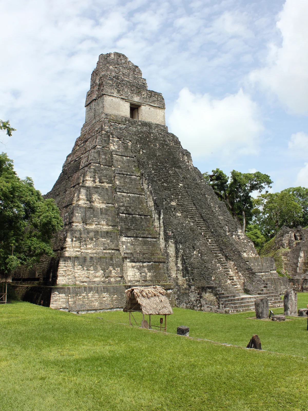
Temple I at the Great Plaza of Tikal, Guatemala. Photograph taken on 26 June 2015. Kaldari / Wikimedia Commons · CC0 1.0. Resized to a maximum edge of 1600 pixels and compressed as WebP; no crop or content alterations. Framing varies by screen. Derived photograph under the same licence.

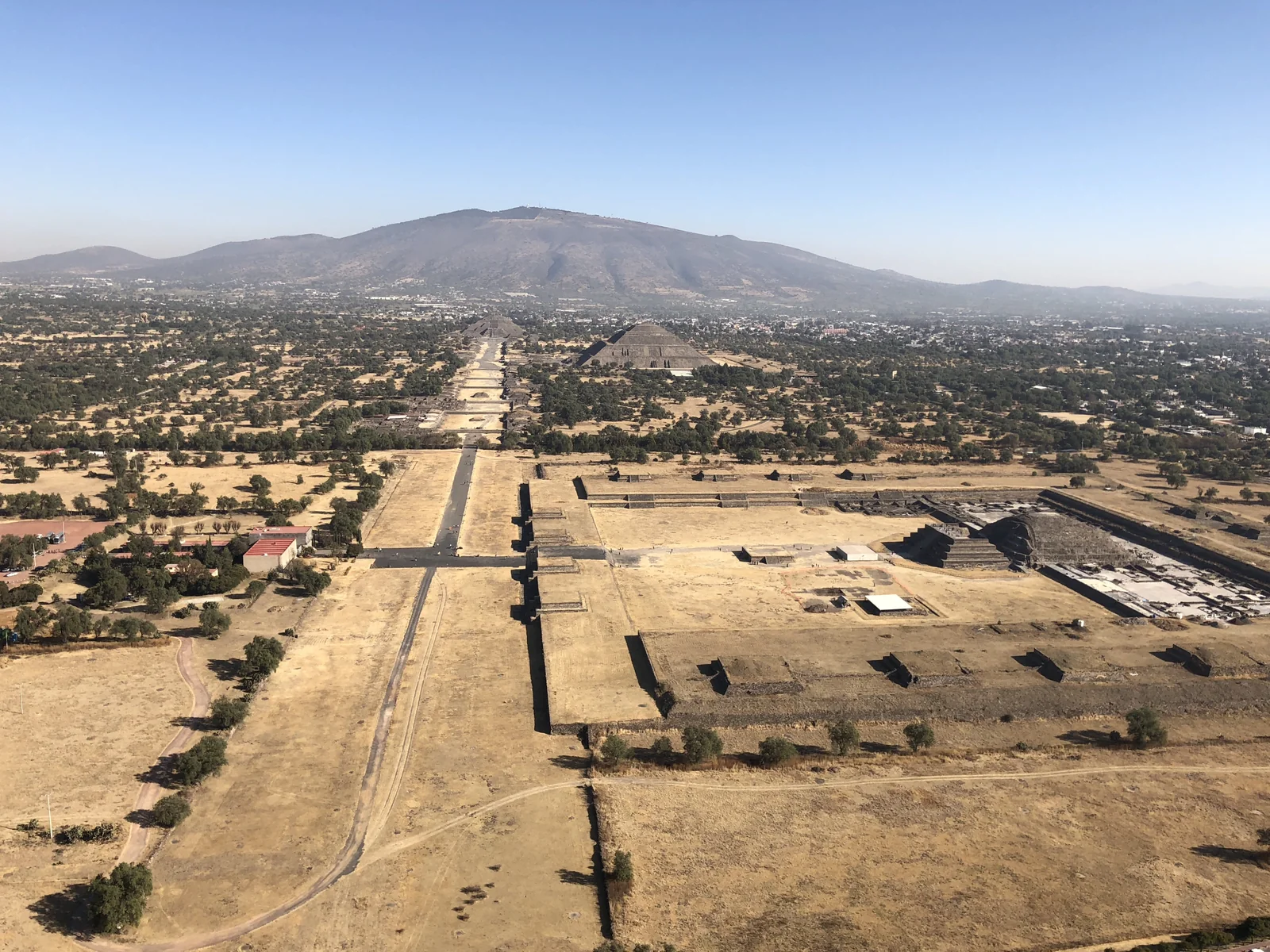
View across the Avenue of the Dead at Teotihuacan: the Pyramid of the Sun stands to the right, with the Pyramid of the Moon at the far end of the axis. Photograph taken on 27 December 2017. Ralibreros112 / Wikimedia Commons · CC BY-SA 4.0. Resized to a maximum edge of 1600 pixels and compressed as WebP; no crop or content alterations. Framing varies by screen. Derived photograph under the same licence.

The Great Plaza of Tikal with Temple I, seen from Temple II; the North Acropolis stairway on the left, the Central Acropolis on the right. Photograph taken on 21 July 2010. Mario Bollini / Wikimedia Commons · CC BY 2.0. Resized to 1600 pixels wide and compressed as WebP; no crop or content alterations. Framing varies by screen. Derived photograph under the same licence.

Natural Earth / world-atlas · Licences